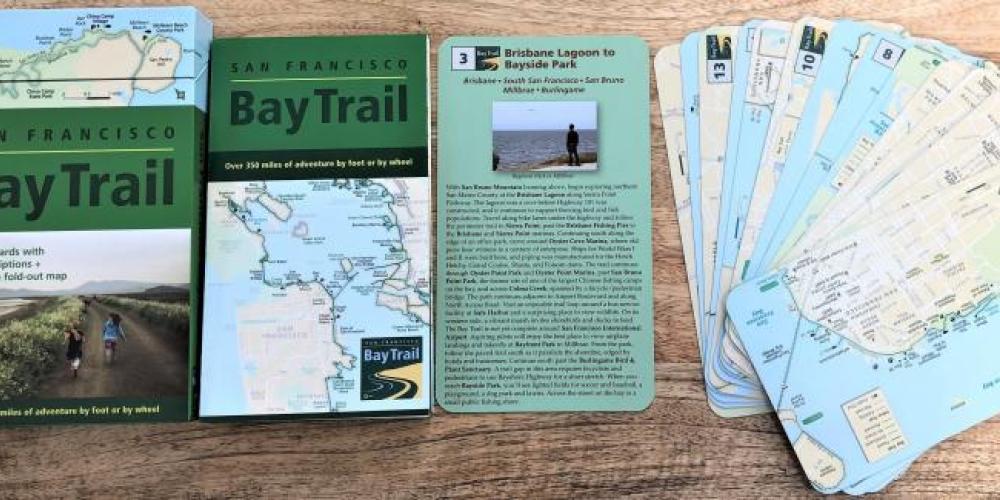
The latest edition of updated San Francisco Bay Trail maps is now available. The nifty box set features 25 map cards with trail route descriptions on the back, a full fold-out map, index card, and one card listing audio tour locations.
Brand new for 2020: The box-set includes a card highlighting the new trail on the Richmond-San Rafael Bridge.
The Bay Trail is a planned 500-mile walking and cycling path around the entire San Francisco Bay, running through all nine Bay Area Counties and 47 cities. More than 350 miles of trail are in place today, from the serene shores of the South Bay to the bustling Embarcadero to the windswept gravel levee-top trails of the North Bay.
The map sets retail for $14.95 and can be ordered online via the Oakland Museum (plus shipping and handling). The map sets will soon be available at select retail locations around the Bay. Please check the Bay Trail website for the most current retailer information baytrail.org/store/bay-trail-maps/.


Submit your comment
In order to receive a reply to your comment, please provide an email address.