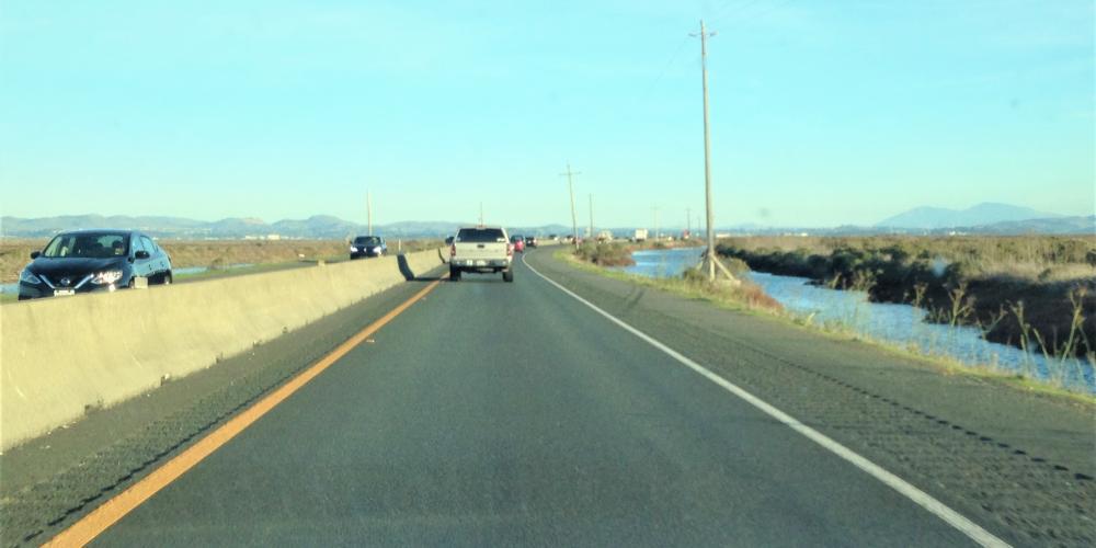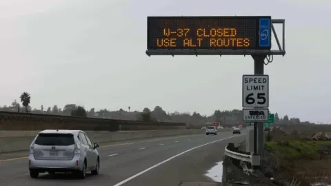
Flooding is again bedeviling Highway 37 in the North Bay, but a plan to improve the stretch of roadway is in the works.
A memorandum of understanding among several agencies is being worked on with a goal of providing relief for Highway 37, a project dubbed the "Resilient SR 37 Program."
A key element of the MOU is to seek legislation for the segment of Highway 37 from Sears Point to Mare Island to become a state-owned bridge, joining as a toll bridge administered by BATA.
The Resilient SR 37 Program aims to address resiliency of transportation infrastructure to sea-level rise and flooding, traffic congestion and opportunities for ecological enhancements, transit, multi-modal use and public access along the SR 37 corridor from I-80 to US 101. The Program includes near- and longer-term improvements for a majority of the 20-mile corridor.
Near-term improvements that can be completed over the next three to five years with approved bridge toll funds. These include installing a multi-lane roundabout to eliminate the traffic signals at the intersection of Highways 37 and 121; extending the two-lane eastbound configuration farther beyond Sears Point; and upgrading the westbound access from Mare Island in Vallejo.
Options for intermediate-term improvements that can be completed in five to seven years center on the critical section between Sears Point and Mare Island. These include either a three-lane configuration with a moveable median barrier similar to the one used on the Golden Gate Bridge or making this segment a four-lane highway, which largely would eliminate shoulders in most locations. Both options would use the existing route alignment and would involve charging tolls.
Toll dollars will be used to fund the long-term plan of building an all-new roadway adjacent to the existing route. This will make Highway 37 both higher — to withstand seal-level rise — and wider, to accommodate four travel lanes, full shoulders and a bicycle/pedestrian path.
Caltrans and the Bay Area Toll Authority are teaming with Sonoma, Marin, Napa and Solano county transportation agencies to coordinate their efforts. The Resilient SR 37 program will not only make the highway one that’s built to last in the face of rising sea levels, it will make the route safer, less congested and more flood resistant.
The project can transform and restore rather than diminish the North Bay’s sensitive wetlands and natural habitats; and provide an important gateway rather than a barrier to the Bay Area’s most valued natural resource — the bay itself.


Submit your comment
In order to receive a reply to your comment, please provide an email address.