The Metropolitan Transportation Commission (MTC)’s Operations Committee on Friday approved a $6 million contract with Applied Wayfinding Inc. to develop a single mapping and wayfinding system for use by all Bay Area transit agencies.
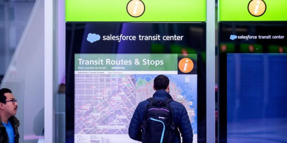
The goal of the project is to design and deploy a fully harmonized suite of maps, signs and transit information in all Bay Area transit locations — from individual bus stops to major hubs like the Salesforce Transit Center, the Eastridge Transit Center or the El Cerrito Del Norte BART station — and to provide practical, predictable guidance to the walkable destinations, local shuttles and the like that extend from these transit stops.
The launch of the Regional Mapping and Wayfinding project marks the first implementation of a 27-point action plan recommended last year by the Blue Ribbon Transit Recovery Task Force that MTC convened in 2020 to guide the post-pandemic future of public transportation in the Bay Area and to make the regional transit network more equitable, efficient, connected and customer-focused.
“This is a great step forward in making transit more accessible and understandable for regular and new riders alike." said MTC Chair and Napa County Supervisor Alfredo Pedroza. "As more people come back to public transit after the pandemic, a unified system of maps and signage will make it easier for Bay Area residents to feel comfortable riding transit wherever they find themselves in the nine counties.”
State Sen. Josh Becker, who authored the Seamless Transit Transformation Act (SB 917) approved by the Senate and now pending in the Assembly, hailed the kickoff of the Regional Mapping and Wayfinding initiative.
“I’m really encouraged by MTC’s action today." he said. "My Seamless Transit Transformation Act aims to ensure this significant investment yields great results by first requiring that MTC develop this system in coordination with transit operators so they have a direct role in shaping it and second, that once new standards are developed, operators follow them. Transforming more than two dozen separate transit systems into one coordinated network demands focus on the customer experience, and that starts with clear and consistent information that applies to every one of the Bay Area’s buses, trains, ferries, light-rail vehicles, streetcars or cable cars that crisscross our region.”
The Regional Mapping and Wayfinding project is expected to deliver prototypes for physical maps and signs by early 2024. Design and installation of the new wayfinding system is scheduled to begin in 2024 and continue into 2025 at transit locations in Sonoma County before expanding first into Solano County and then the rest of the Bay Area in 2026 and beyond.
“Finally, the Bay Area is putting transit riders first,” said Jeffrey Tumlin, Director of Transportation of the San Francisco Municipal Transportation Agency and Blue Ribbon Transit Recovery Task Force member. “Up until now, every transit operator has used standalone wayfinding, maps and transit information that is inconsistent and disconnected from that of other operators. This Regional Mapping and Wayfinding project will be a sea change for transit riders who will no longer have to figure out a new system every time they transfer from one transit operator to another. While this moment is worth celebrating, I hope that MTC and the 27 transit operators will continue to push to make our regional wayfinding and mapping system even more cohesive and unified.”
The 32-member Blue Ribbon Transit Recovery Task Force was chaired by MTC Commissioner and Solano County Supervisor Jim Spering and included several other local elected officials as well as advocates for people with disabilities; representatives from the state Senate, state Assembly and the California State Transportation Agency; transit agencies; business and labor groups; and transit and social justice advocates.
“The operators and MTC came together and supported the mapping and wayfinding project as a near-term priority to serve transit riders," Spering said. "This is a great beginning, and I look forward to continued momentum on this project and other Action Plan items.”
MTC is the transportation planning, financing and coordinating agency for the nine-county San Francisco Bay Area. More information about the Blue Ribbon Task Force and the Bay Area Transit Transformation Action Plan may be found at https://mtc.ca.gov/about-mtc/committees/interagency-committees/blue-ribbon-transit-recovery-task-force.


Submit your comment
In order to receive a reply to your comment, please provide an email address.