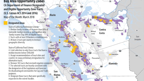
Living in the Bay Area, we all know the “Big One” is (probably) coming. But how likely, and when? October’s Map of the Month tries to convey the Bay Area 30 Year Earthquake Risk both in terms of probability of an earthquake occurring anywhere in the Bay Area as well as probability for any given major fault within the region. As can be seen, there is a roughly 3 in 4 chance the Bay Area will experience a magnitude 6.7 or greater earthquake over the next 30 years, according to the United States Geological Survey.
For context, the 1989 Loma Prieta earthquake, with a magnitude of 6.9, was responsible for 63 deaths and severely damaged elevated transportation infrastructure in San Francisco and Oakland. The fault with the greatest likelihood of earthquake is the Hayward-Rodgers Creek Fault, which runs roughly from East San Jose in Santa Clara County to Santa Rosa in Sonoma County. When considering earthquakes, it is important to remember that the magnitude scale is logarithmic, meaning a 7.0 earthquake would release 33 times more energy than that of the 6.0 South Napa Earthquake which occurred in 2014.
Download the full graphic; data and documentation are also available.


Submit your comment
In order to receive a reply to your comment, please provide an email address.